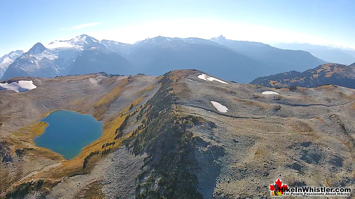
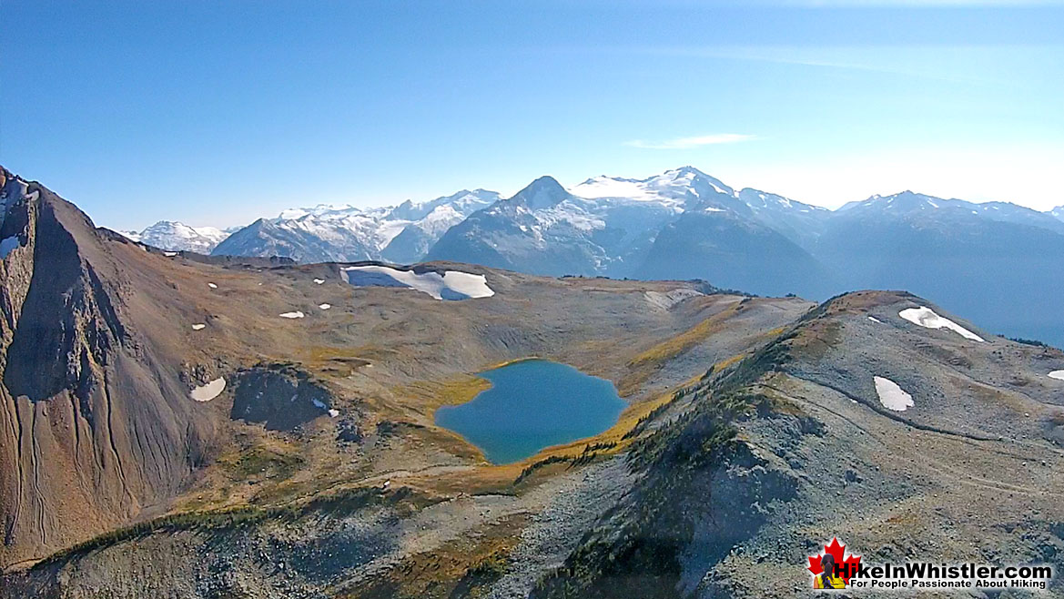
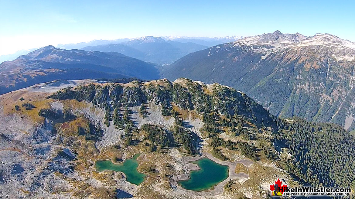
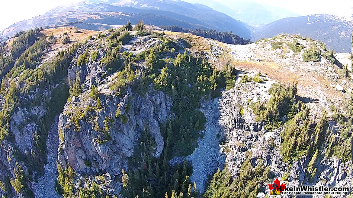
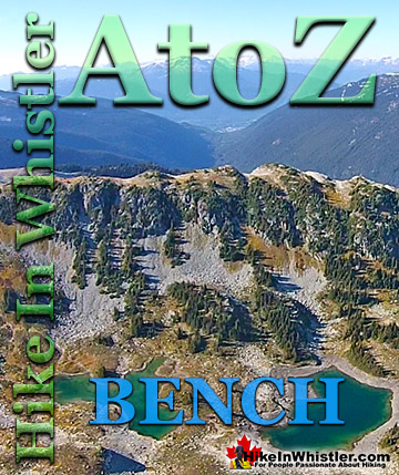
Bench: a flat section in steep terrain. Characteristically narrow, flat or gently sloping with steep or vertical slopes on either side. A bench can be formed by various geological processes. Natural erosion of a landscape often results in a bench being formed out of a hard strip of rock edged by softer, sedimentary rock. The softer rock erodes over time, leaving a narrow strip of rock resulting in a bench. Coastal benches form out of continuous wave erosion of a coastline.
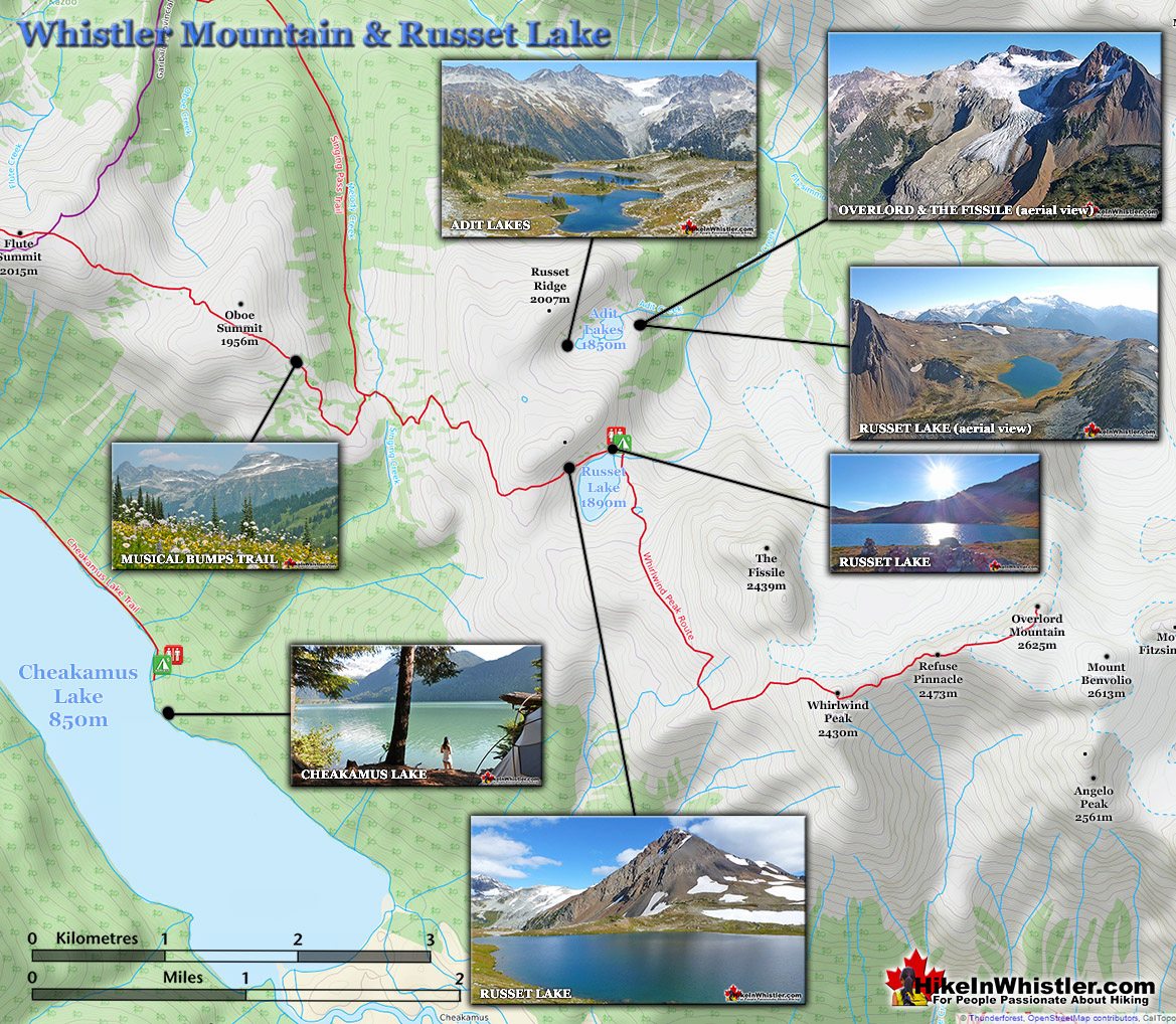
Cutting away at a coastline can result in vertical cliffs dozens or hundreds of metres high with a distinct bench form. Often a bench takes the form of a long, flat top ridge. Panorama Ridge in Garibaldi Provincial Park is an excellent example of a bench. The Musical Bumps trail on Whistler Mountain is another good example of bench formations. Each "bump" along the Musical Bumps trail is effectively a bench. Russet Lake in Garibaldi Provincial Park has a prominent bench adjacent to it. The bench separates Russet Lake and Adit Lakes. Adit Lakes are two idyllic little tarns in a hidden valley separated from the much busier Russet Lake valley by this bench. Towering above Russet Lake is The Fissile, which is visible from Whistler Village in several places. Easy to spot on a clear day if you look up the valley between Whistler Mountain and Blackcomb Mountain, The Fissile is the symmetrical mountain peak in between. The image below is the bench that separates Russet Lake and Adit Lakes and The Fissile in the next image at the far left.
More Whistler & Garibaldi Park Hiking A to Z!
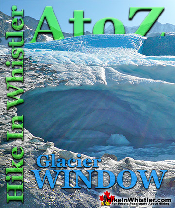
Glacier Window: the cave-like opening at the mouth of a glacier where meltwater runs out. Glacier windows are often extraordinarily beautiful. A blue glow ...
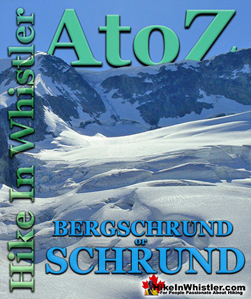
Bergschrund or abbreviated schrund: a crevasse that forms from the separation of moving glacier ice from the stagnant ice above. Characterized by a deep ...
Bench: a flat section in steep terrain. Characteristically narrow, flat or gently sloping with steep or vertical slopes on either side. A bench can be ...
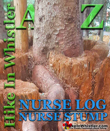
Surprisingly often in Whistler's forests you will find a tree growing on an old fallen tree or out of a decaying tree stump. Decaying logs and stumps in ...
Tom Fyles (27 June 1887 - 27 March 1979) was an astoundingly skilled climber and mountaineer based out of Vancouver where he was an early explorer of the ...
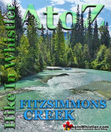
Fitzsimmons Creek is the beautiful and huge creek that crashes through Whistler Village. When walking from Whistler Village to the Upper Village, you will cross ...
Along Whistler’s Valley Trail near Rainbow Park you come across some impressively unusual trees. Unlike most other Whistler trees with straight trunks and ...
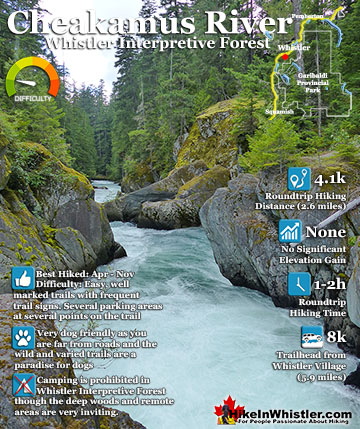
Cheakamus River is a beautiful, crashing, turquoise coloured river that flows from Cheakamus Lake, through Whistler Interpretive Forest, then down past Brandywine Falls to Daisy Lake, then all the way to ...
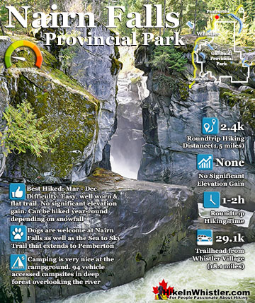
Nairn Falls is a wonderful, crashing and chaotic waterfall that surrounds you from the deluxe viewing platform that allows you to safely watch it from above. The beautiful, green water rushes through the ...
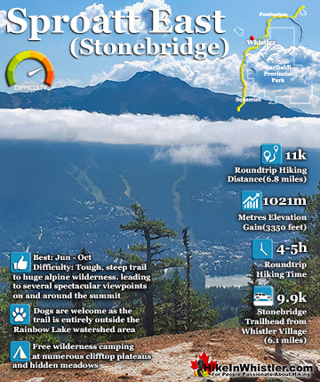
The Sproatt East trail is a beautifully wild, steep, but relatively short trail to the magnificent, wide open alpine and summit of Mount Sproatt. Mount Sproatt (1834 metres) towers over Whistler Valley ...
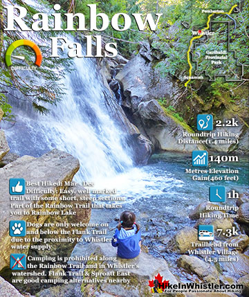
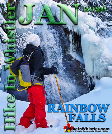
The short, winding, and ever-changing hiking trail to Rainbow Falls is the same as the much more popular trailhead for Rainbow Lake. The trailhead is marked as the Rainbow Trail, and the trail quickly ...
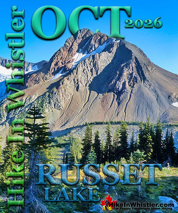
Hiking in Whistler in October is often unexpectedly stunning. The days are much shorter and colder but the mountains are alive with colour from the fall ...
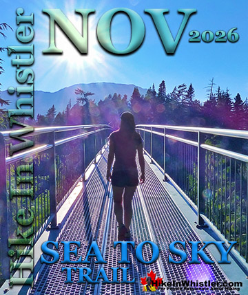
November in Whistler is when the temperatures plummet and the first heavy snow falls in the alpine and often in Whistler Village. The hiking opportunities become ...
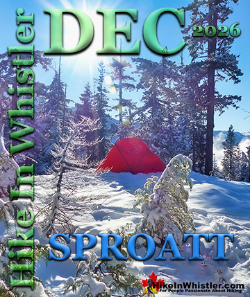
December hiking in Whistler is mainly done on snowshoes, though not always. If it hasn't snowed much recently then trails such as Whistler Train Wreck and ...
Hiking in Whistler is spectacular and wonderfully varied. Looking at a map of Whistler you see an extraordinary spider web of hiking trails that are unbelievably numerous. Easy trails, moderate trails and challenging hiking trails are all available. Another marvellous ...
Squamish is located in the midst of a staggering array of amazing hiking trails. Garibaldi Provincial Park sprawls alongside Squamish and up and beyond Whistler. Tantalus Provincial Park lays across the valley to the west and the wonderfully remote Callaghan Valley ...
Vancouver is surrounded by seemingly endless hiking trails and mountains to explore. Massive parks line up one after another. Mount Seymour Provincial Park, Lynn Canyon Park, Grouse Mountain, Cypress Park and the enormous Garibaldi Park all contribute to Vancouver ...
Clayoquot Sound has a staggering array of hiking trails within it. Between Tofino and Ucluelet, Pacific Rim Park has several wilderness and beach trails, each one radically different from the last. The islands in the area are often Provincial parks on their own with ...
Victoria has a seemingly endless number of amazing hiking trails. Most take you to wild and beautiful Pacific Ocean views and others take you to tranquil lakes in beautiful BC Coastal Rainforest wilderness. Regional Parks and Provincial Parks are everywhere you turn ...
The West Coast Trail was created after decades of brutal and costly shipwrecks occurred along the West Coast of Vancouver Island. One shipwreck in particular was so horrific, tragic and unbelievable that it forced the creation of a trail along the coast, which ...

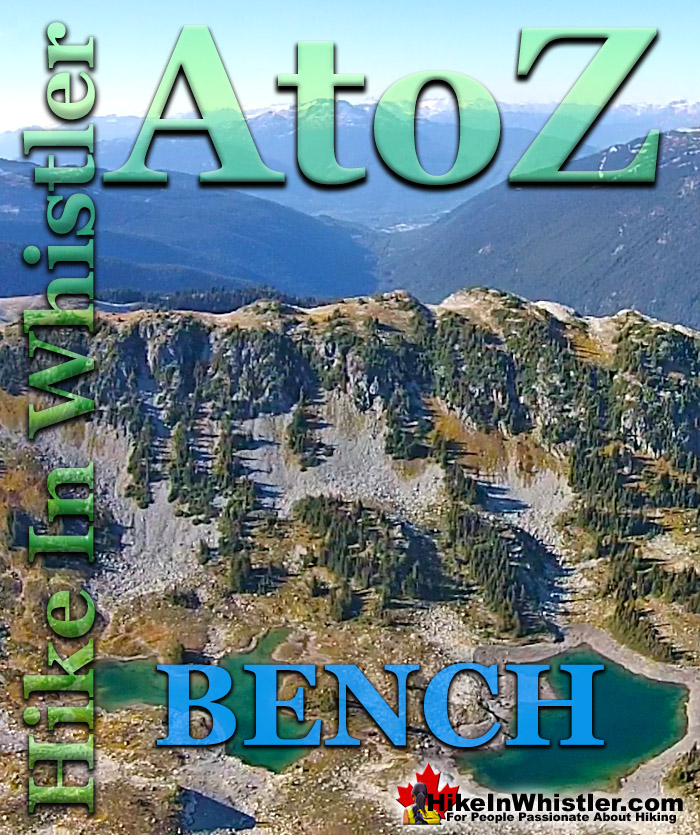
 Bench: a flat section in steep terrain. Characteristically narrow, flat or gently sloping with steep or vertical slopes on either side. A bench can be formed by various geological processes. Natural erosion of a landscape often results in a bench being formed out of a hard strip of rock edged by softer, sedimentary rock. The softer rock erodes over time, leaving a narrow strip of rock resulting in a bench. Coastal benches form out of continuous wave erosion of a coastline.
  Alexander Falls
  Ancient Cedars
  Black Tusk
  Blackcomb Mountain
  Cheakamus River
  Cirque Lake
  Sproatt East
  Wedgemount Lake
  January
  March
March  June
June  September