![]() Brew Lake is beautiful mountain lake just a short drive south of Whistler and is relatively unknown and seldom hiked. Laying at the base of Mount Brew, Brew Lake lays in a massive alpine valley of enormous erratics. On first seeing Brew Lake it looks serene, yet wild and hostile. The lake is surrounded on one side by idyllic tree covered hills and lakeside cliffs and on the other side a brutal looking wasteland of huge boulders sloping up to the sky.
Brew Lake is beautiful mountain lake just a short drive south of Whistler and is relatively unknown and seldom hiked. Laying at the base of Mount Brew, Brew Lake lays in a massive alpine valley of enormous erratics. On first seeing Brew Lake it looks serene, yet wild and hostile. The lake is surrounded on one side by idyllic tree covered hills and lakeside cliffs and on the other side a brutal looking wasteland of huge boulders sloping up to the sky.
 Very off the radar, wild & infrequently hiked
- Stunning, dramatic boulder field & windswept trees
- Lots of excellent places to put your tent
- Not as cold to swim as Joffre, Wedge, Garibaldi
- Hut on Mount Brew is a surreal little oasis
- Beautiful views of Black Tusk & Daisy Lake
 Tricky to find trailhead & tough, steep trail
- Lake is not stunning like Joffre, Wedge, Garibaldi
- Snow restricts access well into June
- Trail is only 5k, but feels like 10k!
Hiking into this wasteland of erratics reveals an amazing paradise of small, island forests, cute streams and endless worlds within worlds to explore. You find yourself wandering along like a kid mesmerized at what you will find next. Brew Lake itself doesn't come close in wow factor to the postcard-perfect alpine lakes such as Wedgemount Lake, Joffre Lakes, Cheakamus Lake or Garibaldi Lake, but I does beat these lakes in other aspects. Because Brew Lake is outside of Garibaldi Provincial Park few people have heard of it. More often than not you will have both the lake and entire valley to yourself. An increasingly rare occurrence elsewhere that gives the place a quiet calm and that strange and satisfying feeling that there are no other humans for quite some distance. You have that exhilarating wilderness feeling that sometimes gets lost on other Whistler area hikes when you start the trail from a parking lot packed with cars. The fact that the Brew Lake trail doesn't have a parking lot or proper trailhead actually makes it more mysterious, adventurous and in some ways more fun. Brew Lake is shallow and absolutely crystal clear. Mesmerizingly clear. You can look across the lake and see smooth and rounded rocks scattered across the lake bottom.
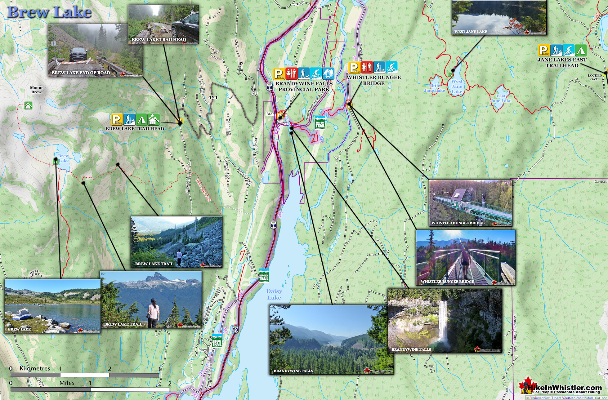
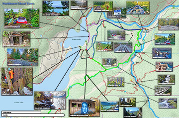
Brew Lake Hiking Trail Map

The lake is also relatively small at just a few hundred metres across and unexpectedly warm to swim in. Breathtakingly cold lakes are the norm in the Whistler area, but Brew Lake is an exception. Try swimming in Wedgemount Lake, Joffre Lakes, Russet Lake, Cirque Lake, Cheakamus Lake or Garibaldi Lake for any length of time and you will be shivering cold. You can manage a minute or two swimming in these lakes, but certainly not 20 or 30 minutes as you can in Brew Lake. There are even some massive, flat topped erratics in the lake to swim to and lounge on. The sun makes them amazingly warm on a sunny day. The edge of the lake surrounded by grass areas littered with erratics making it tricky to find a spot for a tent, but easy to find a place to sit. Once you do find a place for your tent, further exploration reveals countless other great spots. Grassy clifftops, clearings at the edge of streams.

A third aspect of Brew Lake that beats the local, alpine lake competition is the hike itself. It is amazing. Comparable in difficulty to the Wedgemount Lake trail, though two kilometres shorter and packed with things to see. From the dozen or so amazing viewpoints on various plateaus steps from the trail to the endless gnarled, weather-beaten, yet captivating forests of twisted, mangled, huge and bewildering trees. Over and over along the 5 kilometre trail you stop and stare in wonder at how a huge tree, 30 metres tall can have an absurd, sideways L-shape in its trunk big enough to stand in. You see it over and over until eventually you work out that when these trees are young they spend most of the year under metres of snow. Over the years they grow at an unusual looking right angle, as if growing sideways. Eventually the tree grows big and thick enough to not have the snow push it over and it grows vertical again. But of course it keeps this hilarious L-shape as it continues to grow. You start spotting the smaller ones everywhere you look. The trunk comes out of the ground one metre, then one metre horizontal, then one metre vertical again. Hilarious. Absurd and hilarious.


Brew Lake Driving Directions Maps
Finding the Brew Lake trailhead is quite an adventure. The logging road is long, windy, steep, narrow and unmarked. The first time you encounter an indication for the Brew Lake trail is when you reach the trail and find the orange or yellow tree markers. The last road bridge was decommissioned in recent years, so the farthest you can drive with a 4x4 is to this closed bridge one kilometre from the actual trail start.


More Whistler & Garibaldi Park Hiking Maps!
Cheakamus River Maps
Whistler Mountain Maps
Garibaldi Lake Maps
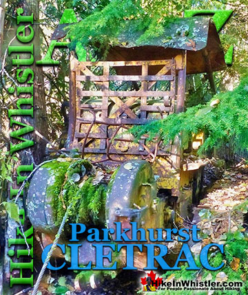
Parkhurst Ghost Town Maps

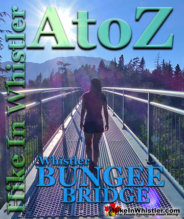
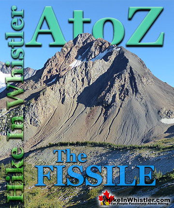
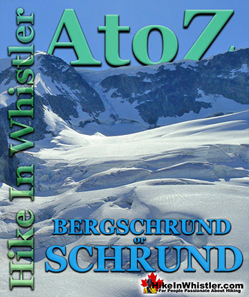
Whistler & Garibaldi Park Glossary A to Z

The Best Whistler & Garibaldi Park Hiking Trails!